
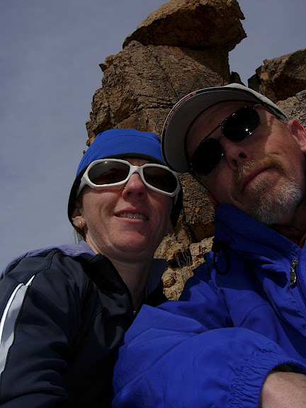
Super cool stuff! I had a an amazing weekend, with Brendan’s stepdad, in Joshua Tree NP learning up on desert navigation with the Desert Institute. Carl found out about the course and told me about it. I wasn’t sure what to expect, but I definitely gained some confidence with looking at maps and navigating with bearings and land features. Brendan has always been the backcountry guru in our house since he did the wilderness trips with kids and lived it for a while. But, I was able to come home and teach him a few things, for a change!
Friday was the first day. Carl picked me up in Idyllwild and we drove down for a short evening intro. We went over topographic maps and learned about all the info around the edges. I’ve heard a lot of this stuff before, but never in a way where it all hooked together. Also, in Illinois we didn’t have to worry much about magnetic declination as it’s pretty close to nothing there. I learned about the red lines on my topo – when the U.S. incurred lots of debt during the revolutionary war, they decided to survey land and sell it off to individuals – thus they created townships, which were six mile square and you can find cool markers at these points and also sometimes at one mile intervals. The land was surveyed after the revolutionary war as a means for the government to raise money to pay off war debt. Another interesting fact is about the green stuff on your map – the amount of brush required to conceal 27 people from aerial recon is represented in green in your map. Seriously, that’s the difference between having vegetation represented on a map or not. I’m not sure how big of an area that is within, but just a fun useless fact. 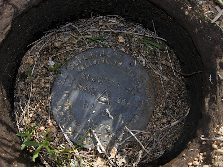 Township Marker
So, Carl and I ended Friday with Mexican food and a margarita in yucca valley and crashed out at the Super 8. Good day in my book.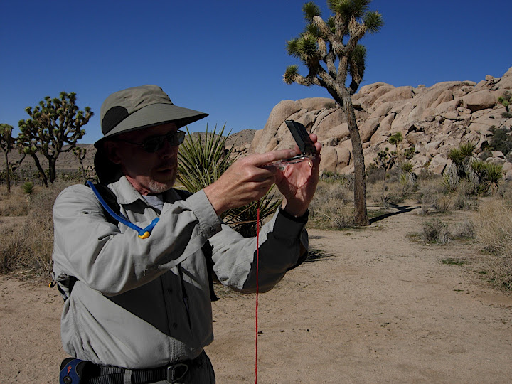 a Carl sighting!
 Short hike with cues
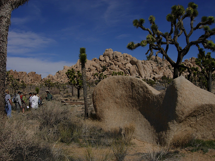 Whale Rock near Hidden Valley Picnic Area
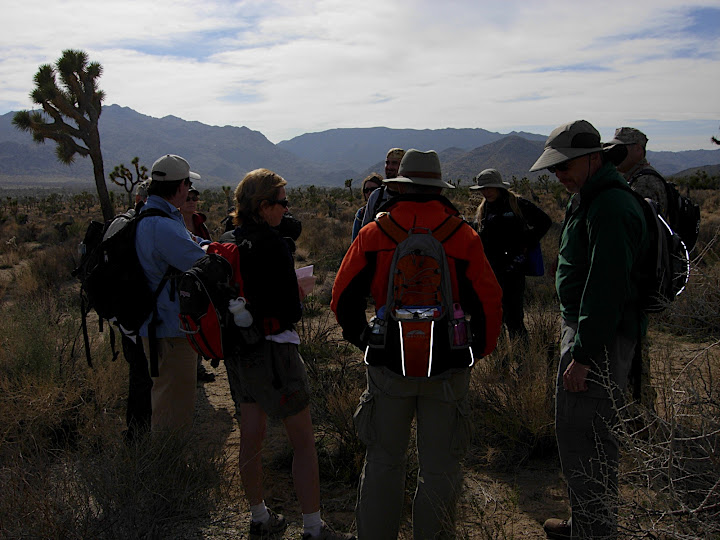
Saturday was the beginners course. We learned how to shoot a bearing and pretty much stayed at the hidden valley campground all day. Carl and I teamed up and we took turns hiding a stake with a flag out in the desert then giving the other person the distance and bearing to look for it. Before we started, we did a simple exercise to figure out the length of our stride. Mine was 5.5 feet and Carl’s 5.8, so we worked good together as it was easy to translate my distance into his strides and vice versa. Then we did an exercise based on cue sheets where we found flags throughout the day use area that the instructor – also Karl – hid that morning. We did a small loop going from one flag to the next. All 12 people in the class got into their own small groups and worked the problems as we traveled throughout the area.By the end of the morning, Carl and I were both more confident in shooting a bearing and getting somewhere.
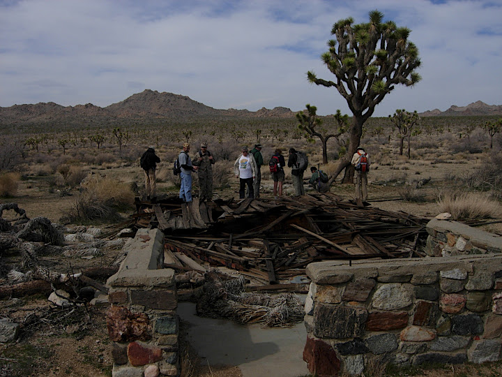 Old Homestead
In the afternoon, we went on a hunt for a test well near Samuelsons Rock. It is hard to find such a small thing by aiming right for it from a long ways away. So we aimed at some nearby features, including an old homestead and then found the testwell with it’s relation to these bigger features. It was a pretty gratifying feeling to be able to find all these features on a map then find them out in the desert. We got to know a few people in the class and ended up running into Jeff and Nancy at dinner. they told us about the crossroads cafe, which we checked out and ended up eating with them – the place was packed. It was definitely the place to be on a Saturday night.
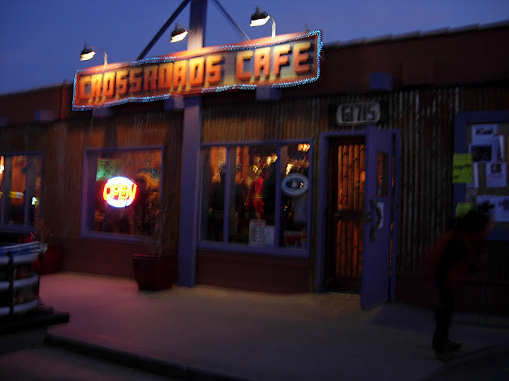 Crossroads Cafe
 Cold Start Sunday
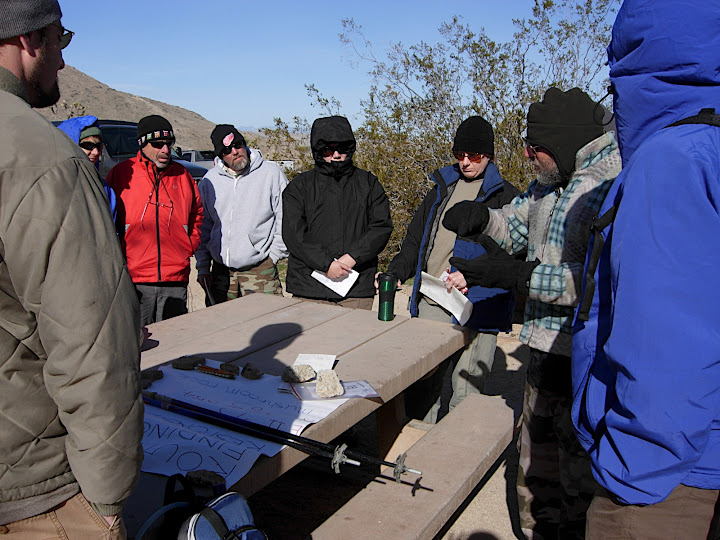 Morning Picnic Table lesson
Sunday was another early day and was going to be a long one. The weather forecast called for wind gusts up to 50mph.Carl and I stopped back in at the backroads cafe for breakfast and ran into Jeff and Nancy again. We had some good food and great chats then headed into the park for our last long day. The forecast was right and it was downright cold, but the sun was shining. We started the day at the Quail Springs picnic area with a lecture on triangulation and taking back bearings. Carl and I had bought a sandwich to split at the grocery store on our way in – this was SUPPOSED to be lunch. As we started out on our hike for the day, the plan was to hike around two mountains and end up back at the campground around 5p. Did I mention it was going to be a long day. We decided to leave the sandwich in the cooler until we got started, that way it wouldn’t get warm while we were having the morning lecture. About 1/4 mile into the hike, Carl said, “Hey Mary…” I said “What Carl?” He said, “we forgot the sandwich.” I said “WHAT!?” Crud… at least we had plenty of snacks with us. We didn’t want to hold the whole group up, so we kept going. The hike out was a little cool and windy. Not too bad since we had a bit of windblock from the mountains. We stopped at mushroom rock, which was our goal, for lunch. Carl and I dined on jerkey, lots of fig newtons, trailmix, and bananas. I was definitely satisfied without the sandwich.
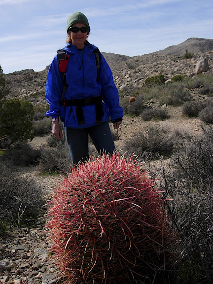 Nancy
Nancy
 Lunchbreak – d’oh, we forgot our sandwich!
After our lunch stop, we would put away the compasses and navigate based on land features. We primarily went down a wash, until it turned into an old road bed. The road bed used to lead to the Lang Mine and took us by the Johnny Lang homestead, where we stopped for another snack and learned the story of Johnny Lang, an old prospector who mined the park area and swindled some gold from his partners, so he got bought out. It was a beautiful hike and we came out at a very wide plateau of joshua trees where the wind was whipping. It was more like swimming than hiking at times. We followed the old road bed out to the quail springs road. By this time we were all a little tired of fighting with the wind and wanted to just get out of it. So, we picked up the pace a little and hightailed it back to the car. The hike out was good, but we didn’t exactly stop to smell the flowers. In the end we exchanged emails with the group so we could share photos, then parted ways.
 Finishing up!
Carl and I had a snack waiting for us at the car – that roast beef sandwich! It was perfect for the drive through the park. Then we stopped for coffee on the way and made it home just in time for the international dinner at the school.
Overall, it was a great weekend. It was good getting to know Carl more and also getting more confident with my backcountry skills. The maps for GDR are great, but now i can understand them even more.

Ahhh….Crossroads…..that’s an eatery dear to my heart!
B
LikeLike
Nice!
had way to much fun in the scouts using the compass!
The maps for the GDR are sweet! however there are a few turn discriptions that are a bit unclear when your on route.
Thats where the limited topo on the maps does become quite handy!
LikeLike
Great stuff to learn – good for you.
LikeLike
Huumm, looks like someone could be also grooming herself for adventure racing…
LikeLike
Super cool experience! Thanks for sharing it with us!
LikeLike